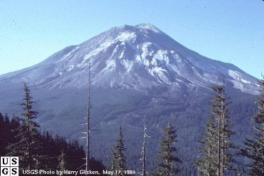
Before 18 May 1980 eruption
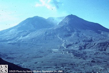
After 18 May 1980 eruption: something's missing here...
Mount Saint Helens blow'd up real good at 8:32 a.m. PT on 18 May 1980. I won't go into much detail here but here are some links for starters if you would like more information:
Map of Mount Saint Helens area (may be handy to locate areas mentioned and get a better picture of the scale of the destruction):
http://www.fs.fed.us/gpnf/mshnvm/global/images2/mshrec.jpg
Semi-animated sequence of the 18 May 1980 eruption using Gary Rosenquist's photos:
http://earthsci.terc.edu/content/investigations/es0907/es0907page03.cfm
Scroll through descriptions and pictures of various aspects of the eruption:
http://pubs.usgs.gov/publications/msh/climactic.html
Download a template for a cut-and-paste 3-D stratovolcano! Comes complete with town, school, and farm about to be obliterated. Soon to be appearing in science fairs around the country. Tomato soup lava not included:
http://neic.usgs.gov/neis/education/volcano/
I didn't know this before, but God caused Mount St. Helens to erupt to teach us that evolution is bunk:
http://www.creationism.org/sthelens/MSH1c_UnderstNatDistr.htm
Before 18 May 1980 eruption |
After 18 May 1980 eruption: something's missing here... |
Formerly Coldwater Ridge, Johnston Ridge was renamed after David Johnston, a USGS employee reluctantly working on the ridge five miles from MSH at the time of the eruption. When the eruption started he radioed colleagues saying, "Vancouver, this is it!" (Vancouver as in Vancouver, Washington) His body was never found.
Harry's Ridge is named after former U.S. president Harry Truman, who had a lodge by Spirit Lake. The crazy foo' ignored warnings and was at his lodge when MSH erupted. Now he's DEAD.
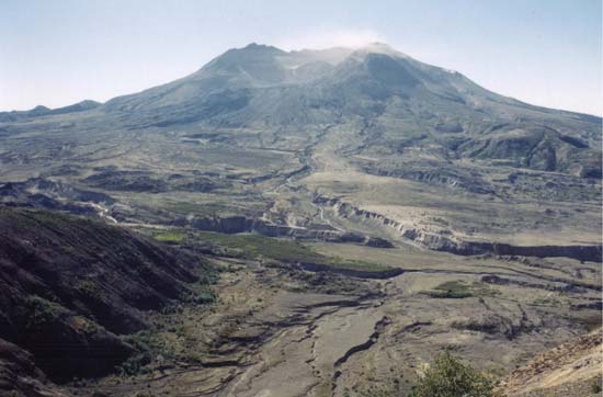
MSH from Johnston Ridge (note buildup of lava cone in centre of mountain since the September 1980 photo)
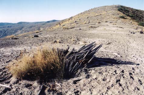
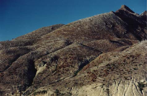 Near Johnston Ridge looking North at trees felled in blast |
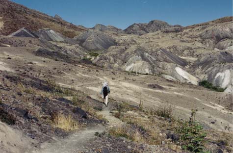 Formations called "hummocks" created by massive landslide (Trail 1 on map) |
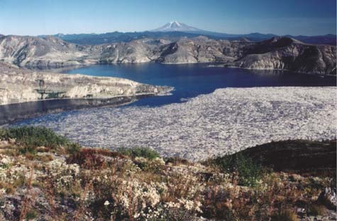 Spirit Lake from Harry's Ridge (1E on map) 24 years later, dead trees still float on large areas of the lake |
 Closeup of logs on Spirit Lake |
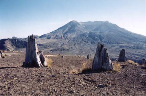 MSH from Harry's Ridge |
 Harry's Ridge |
 Another view of Mount Adams and Spirit Lake |  Heading back down from Harry's Ridge |
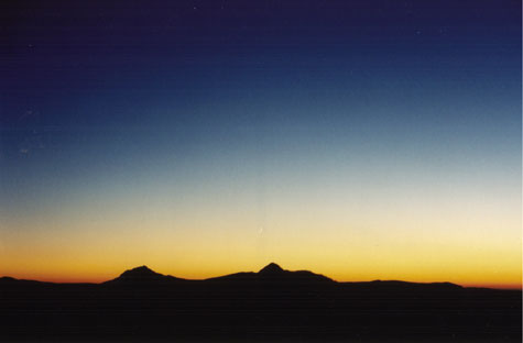 Crazy sunset at Johnston Ridge |
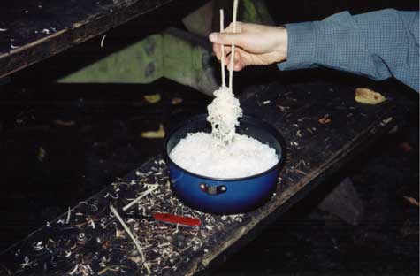 Oops, we forgot the utensils so we had to make our own |
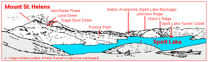
Drawing depicting the areas mentioned above, viewed from the East (used and modified without permission from USGS)
| Back | MSH Part 2>>> | Home |