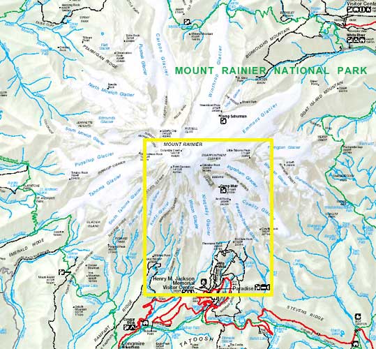
Part of Rainier National Park map
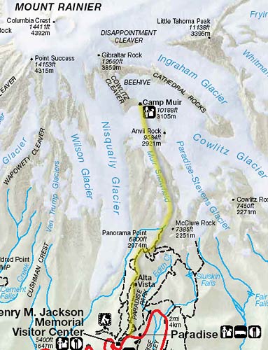
Closer view with approximate route in yellow
Camp Muir is located above the 10000-foot (3048-metre) level on Mount Rainier. Most hikers use it as a rest stop before making an attempt at the 14411-foot (4392-metre) summit. In August 2004 we hiked up from Paradise and spent the night there. We both found it quite tiring and I think The Archivist almost threw in the towel a few times. It was about a 4600-foot (1400 m) elevation gain over 4.5 miles (7.2 km), which in most cases wouldn't have been too bad. A few things made it more fatiguing than the average hike however: half the distance and 60% of the elevation gain was on snow (Muir Snowfield), extra gear was carried for spending the night, and oxygen was somewhat less plentiful than what we were accustomed to (we live near sea level). The public cabin at Muir was supposed to be closed for renovations but the work had not started yet, so we were able to make use of it. If I had known I wouldn't have packed the tent. It wasn't very comfortable though -- it was dirty, cold, drafty, and there were mice running around. Fortunately we took top bunks, because a guy sleeping on the lower level woke up when a mouse ran across his head. Most hikers leave for the summit in the middle of the night so they can return before the snow and ice warm up and conditions become hazardous. This meant that people were coming in and out all night, banging the door, re-packing their gear, and cooking food. The change in altitude and possibly some dehydration gave me a dull headache. I also forgot to bring the stove so we couldn't cook the packaged food we brought. We had enough extra food but a warm meal would have been nice. From the sound of it, the cabin is often jammed with people but maybe the reports of renovations kept them away. By morning we and the mice were the only ones left. Going down was the easy part. We were able to slide some of the way (some people pack skis/snowboards up for a fun descent). Surprisingly I had very little soreness afterward, but as I remember The Archivist was walking like she had a pickle up her butt for the next couple of days.
Part of Rainier National Park map |
Closer view with approximate route in yellow |
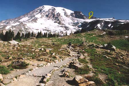 Rainier from Skyline Trail Camp Muir is probably somewhere near the finger |
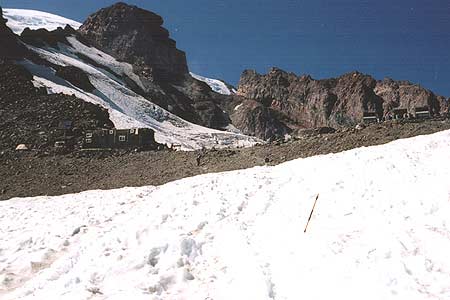 Camp Muir finally comes into view |
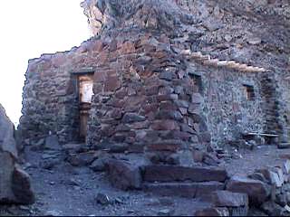 Muir public cabin | 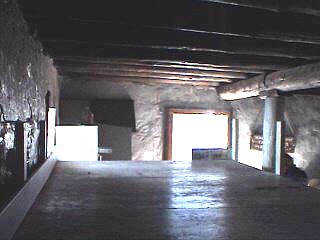 Cabin interior from top bunk | 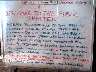 Oft-ignored sign in cabin |
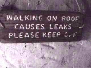 Other sign in cabin | 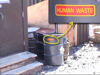 Something smelled bad outside the cabin | 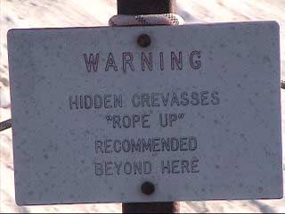 Sign just beyond Camp Muir |
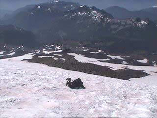
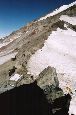 View over Camp Muir | 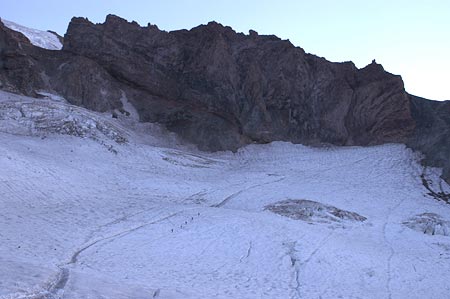 Hikers (near center) and Cathedral Rocks |
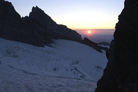 Sunrise | 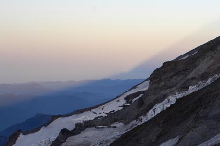 Interesting shadow effect at sunrise (at right of full view below) |
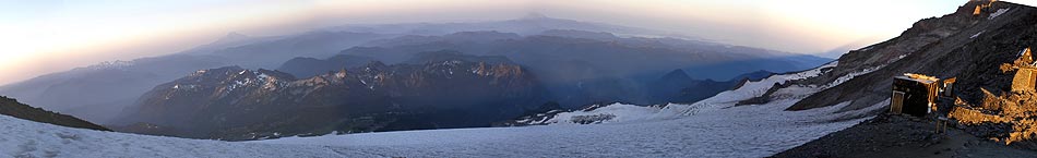
Morning view from Camp Muir
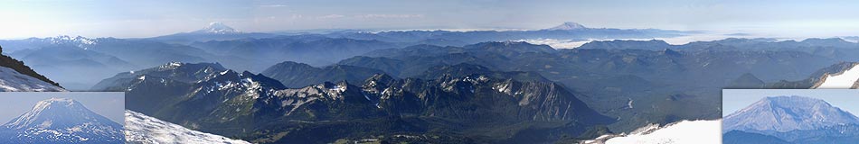
View later in morning when descending from Camp Muir (Mount Adams at left, Mount Saint Helens at right)
 G sliding down | 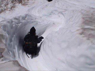 Archivist sliding down | 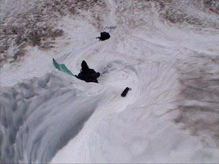 |
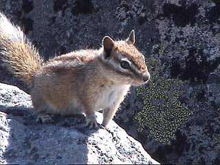 Just a chipmunk, but kinda cute |
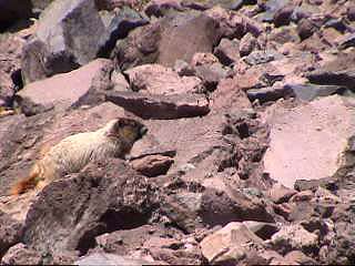 Marmot | 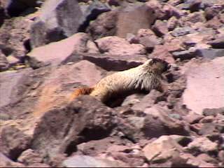 |
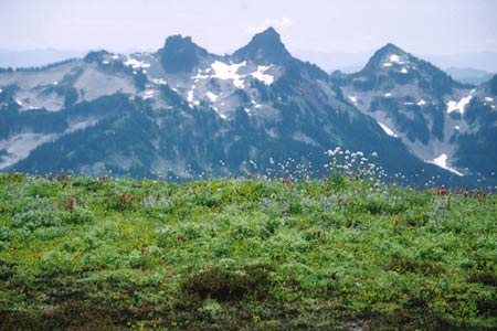 Alpine Meadow and Tatoosh Range | 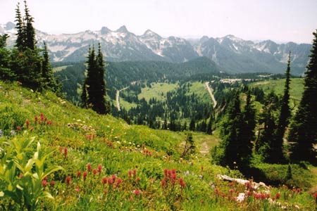 Ditto |
 | 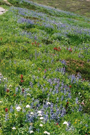 Alpine meadow | 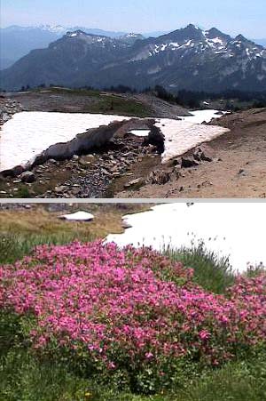 Snow tunnel and more flowers |
We took the long route back home, going around Rainier to the South and East. The pictures below are from this part of the trip.
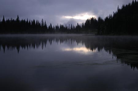 Reflection Lake |
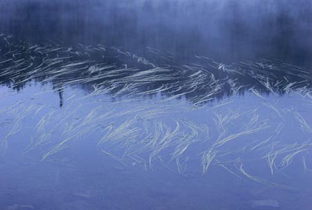 Reflection Lake |
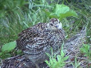 Birdie |
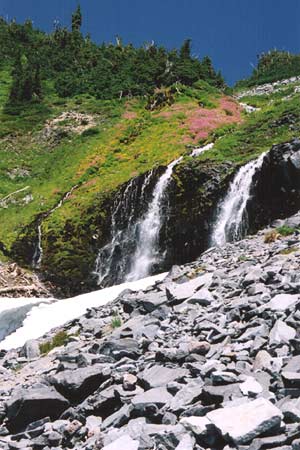
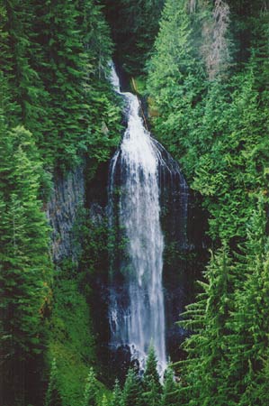 Martha Falls in Stevens Canyon |
Passing through Enumclaw we saw the infamous manure sprinkler.
Gurdeep Singh Bains never had it so good. As you might guess it smelled awful.
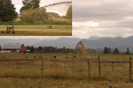
Enumclaw manure sprinkler
| Back | Main |