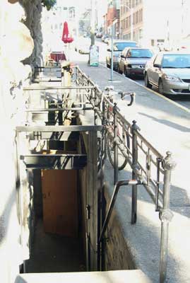
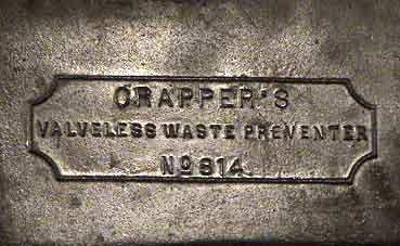
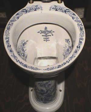
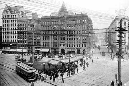
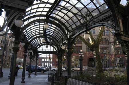
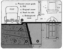
The original settlement that grew into Seattle was located on a small island surrounded by tidal flats. As the city expanded, many areas of the business district were prone to flooding twice a day when the tides came in. Some of these low-lying areas were filled in over time, but much of the early fill material was sawdust from the local mill, which wasn't particularly stable or dry. Seattle's streets had potholes large enough to be included on city maps and for local children to float rafts on for fun. After one such child drowned, editorials in the newspaper demanded installation of life-saving equipment at intersections and swimming lessons for children. More difficulties were caused by the increasing popularity of the flush toilet. There wasn't even a sewage system to hook them up to until one was made out of some 6-inch wooden box "pipes." Residents living at or near sea level could not flush their toilets at high tide or they would be blasted by backwash. Some of these crapper geysers were reportedly six feet high. The newspaper was kind enough to print daily tidal charts to help residents avoid this. In 1889 a fire wiped out a large section of Seattle, providing the opportunity to rebuild and make things right. The city wanted to regrade low-lying areas, but this was expected to take years, and many property owners were not willing to wait. Most businesses started reconstruction immediately after the fire, whereas the city didn't get around to regrading the streets until a year later. The city continued with its plans however, and used retaining walls to raise the roads anywhere from 10 to 30 feet above the level of existing buildings and sidewalks. New water and sewage systems were then run along top. For a number of years the height difference between the new roads and the original sidewalks was a major inconvenience to pedestrians. Just to cross a street from the sidewalk required climbing up one ladder and down another. It was more of an inconvenience to some -- in just a few years at least 19 pedestrians died after falling from roads or ladders to the sidewalk, or being crushed on the sidewalk by objects falling off the roads above (many stores left heavy merchandise at the roadside to facilitate loading). From 1892 to 1900 new sidewalks were constructed to match the regraded street levels but the space below was never filled in. The original sidewalks and building entrances still remained useable below and this was the beginning of Seattle's Underground.
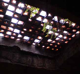
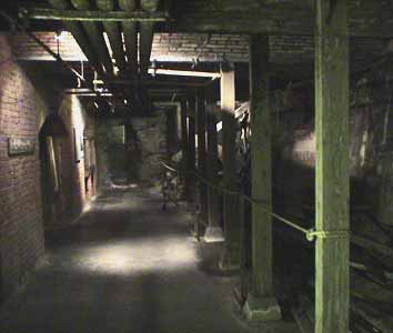
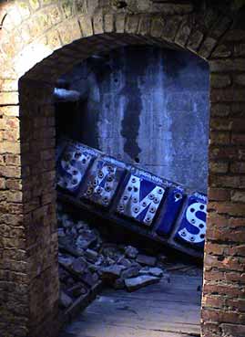
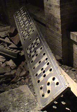
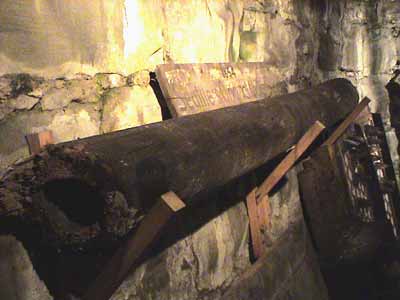
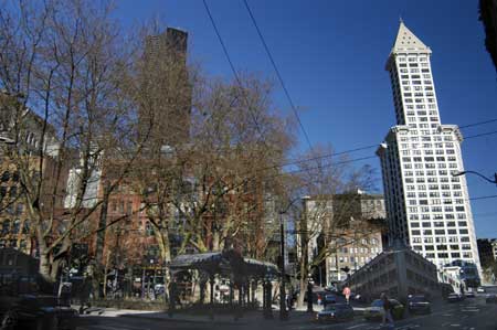
 Thirty-three city blocks had two tiers of sidewalks, in effect creating the world's first subterranean mall. Stairways at the main intersections allowed continued access. Despite the extra walking distances, most people still preferred to shop at the old street level because it was quieter, cleaner, safer, and dryer. Safer, that is, until the bubonic plague shut it down from 1907 to 1919. From the time it re-opened until World War II, the Underground went through a golden age when it housed illegal saloons (prohibition was from 1920-1933), bordellos, gambling halls, and even opium dens. The military stopped all the fun when they took it over during World War II, and not long after it was sealed up for good. It seems it was giving thieves easy access to stores. Nowadays most businesses use their underground space for storage. The Underground Tour takes people to some of the areas that aren't currently being used. There really isn't a lot to see but the stories the guides tell make it interesting.