
Hanauma Bay is a crater made up of six or more cones formed in some of the last volcanic activity to occur on O'ahu. It was a favourite fishing spot for Ali'i, or Hawaiian royalty. Millions of people come here every year to snorkel and scuba dive. Viewing a video on reef preservation is mandatory before entering the preserve but I still saw lots of jerks standing and walking on the coral and nobody around enforcing rules. It was good for our first snorkeling experience but the places we went on Maui had more fish, better coral, and fewer people.
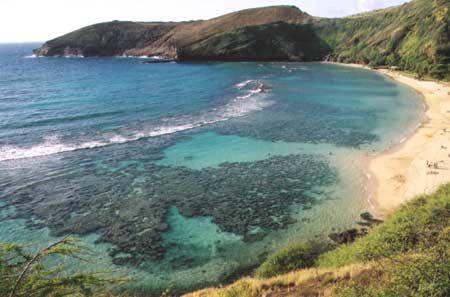 Hanauma Bay |  Aerial View |
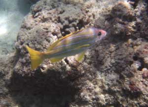 Bluestripe Snapper | 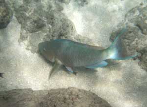 Parrot Fish | 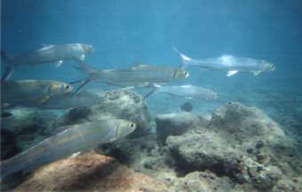 Hawaiian Ladyfish |
Diamond Head (Le'ahi)
Called Le'ahi by the native Hawaiians, it got its more common name when some haoles (Caucasians -- literally "without breath") saw calcite crystals shining in the lava rock and thought they were diamonds. It is thought to have been formed by an explosive eruption of steam and ash 150,000 years ago. The native Hawaiians had five heiau (places of worship) in the area and fires to aid navigation at sea. The U.S. annexed Hawaii in 1898. The tunnels, bunkers, and observation posts were completed in 1910 for harbour defense. The lighthouse below was built in 1899. You can read the park brochure here.
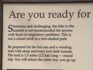 Warning sign at start of trail | 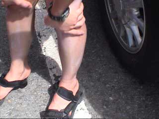 The Archivist applies a little sunscreen | 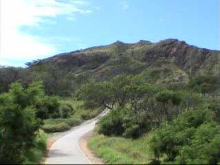 Start of trail |
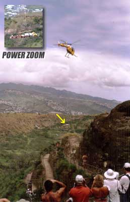 This woman was not ready | 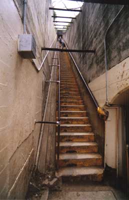 99 stairs | 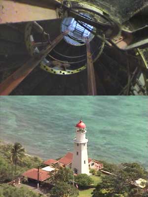 Top: More stairs Bottom: lighthouse from top of Diamond Head |
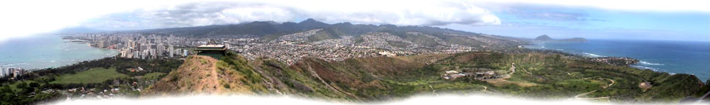
180-degree view (from East to West) from Diamond Head
The North Shore
(Where the best surfing is)
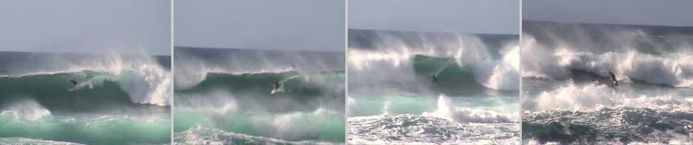
 Local kids riding the waves at Mokuleia | 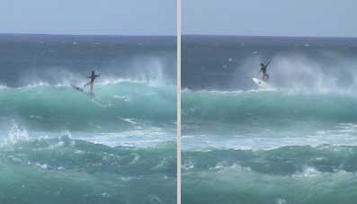 A surfer launches himself into the air |
North Shore surfer shows off his skills
Lanikai
Lanikai beach is reportedly washing away because of retaining walls built to protect houses along it. Calm water makes for good swimming and there's a nice view of the Moku Lua Islands. See it before all the sand washes away.
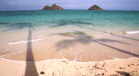 Nice view... | 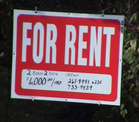 but the rent is a little high |
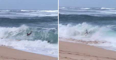
Sandy Beach
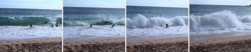
One of the most dangerous beaches in O'ahu, at least in terms of the number of injuries (injured and even broken necks are common) that occur here. Click on the image to see some kids get pounded by the surf [now offline].
Mrs. Geebs took us on a hike up this peak
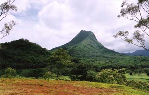 Olomana | 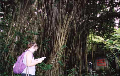 Mrs. Geebs checks the guide while G checks the banyan tree |
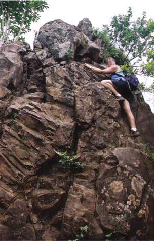 Mrs. Geebs happily leads the final assault | 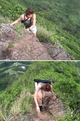 The Archivist takes the last few tricky steps to the summit |
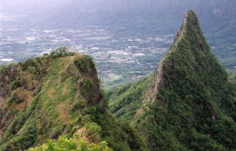 The trail continues over the next two peaks but is rather treacherous | 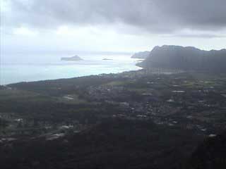 Looking toward Makapu'u point and Manana Island (see below) |
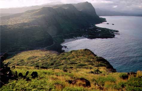 View from Makapu'u Point The cliffs are a popular hang gliding spot | 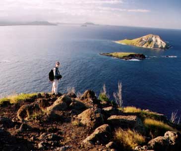 Continued from left - Looking over Manana Island, home to many birds and rabbits |
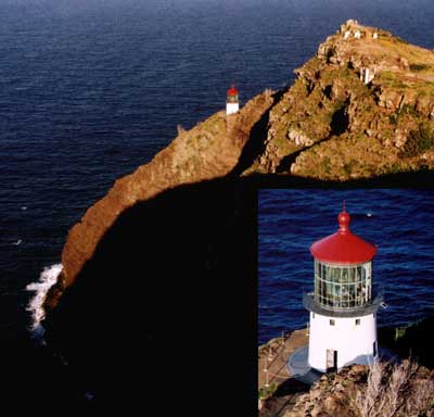
Makapu'u Point Lighthouse
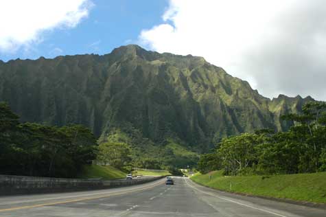 H3 heading west to tunnel through Ko'olau Range | 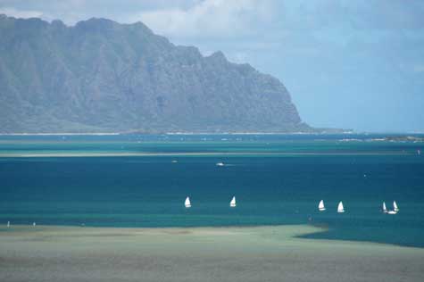 Kane'ohe Bay |
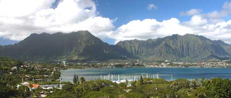
Kane'ohe Bay
| Visual Stimulation Menu | Main | <<< Oahu Part 1 | Maui Part 1 >>> |