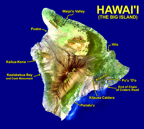
Hawaii Volcanoes National Park includes parts of two active volcanoes: Mauna Loa and Kilauea. A map of the park is here (1.82 mb). All the areas mentioned below are on Kilauea.
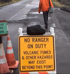
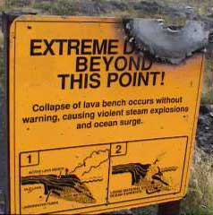
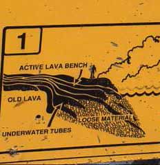
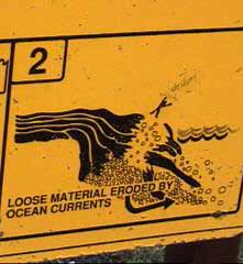
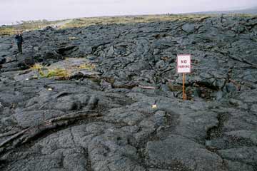
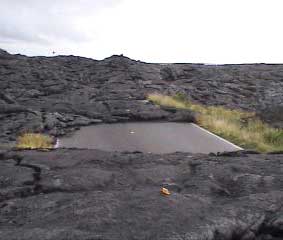
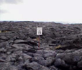
This road runs from the Kilauea crater down to edge of the the ocean. Originally you could drive it straight through to the Eastern tip of the island, but eruptions since 1983 have successively covered more and more of it (1983-1997 info and photos). The road now ends abruptly at the lava. Road signs sticking out here and there make for a bizarre scene. We walked out on the pahoehoe from eruptions occurring around 2002-2003. Although it had already been cooling for a year or two, some areas were still very hot. There were no active lava flows nearby at the time of our visit. At night from the bottom of the road we could see the glow of the active Pu'u 'O'o vent, around 10 km away, in the clouds above. More on Pu'u 'O'o below.
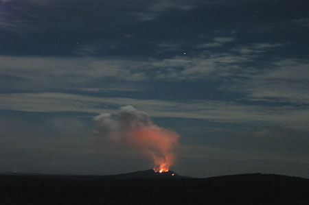
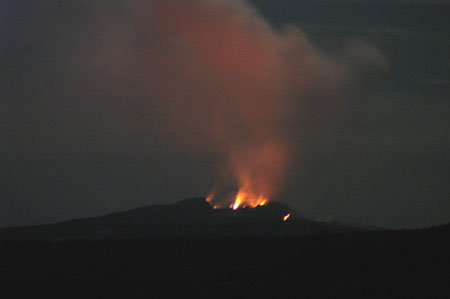
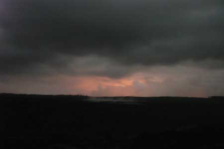 Time lapse night view showing glow from Pu'u 'O'o | 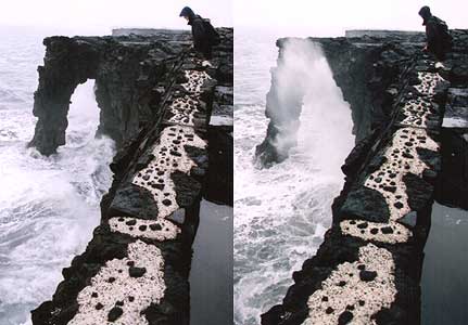 Holei Sea Arch near end of road |
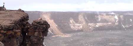
 Cliffs near end of Chain of Craters Road (click for USGS image from Nov 2004) |  End of Chain of Craters Road (click for USGS image from 2002) |
 |  |  |  |
 |  |  |
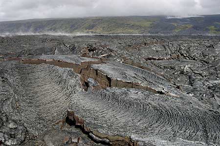
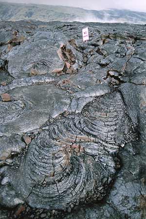 |  | 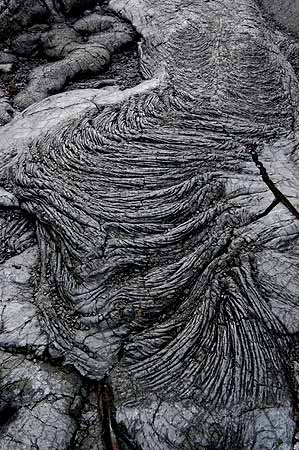 Ropy pahoehoe |
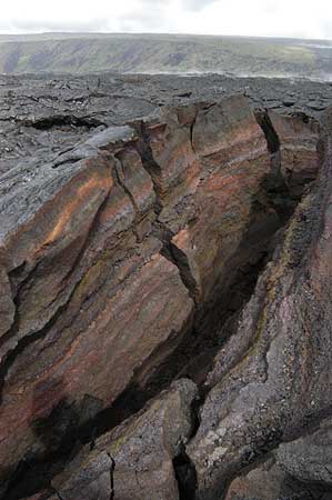
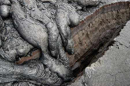 Crack and pahoehoe toes | 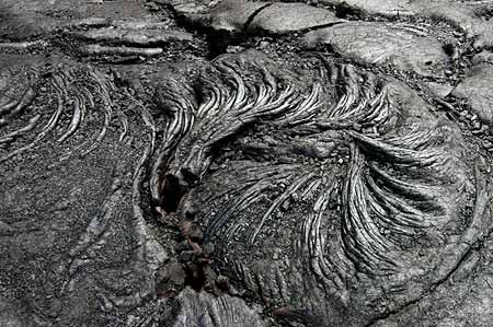 Pahoehoe coil |
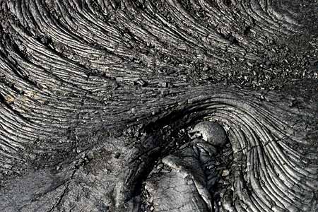 This looks like an elephant's eye | 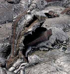 Lava monster |
 Looking up Holei Pali towards Kilauea | 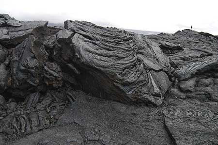 |
Pu'u 'O'o has been one of the most volcanically active areas around Kilauea in the last 20 years, and it seemed to be the only source of action at the time of our visit. One night we hiked about a mile across lava flows and climbed Pu'u Huluhulu, a cinder cone, to get a better view (the glow from the lava would not have been bright enough to see in the day from this distance). Below are pictures taken with a zoom lens and lengthened exposure times. A Pu'u 'O'o webcam is here.
 |  |
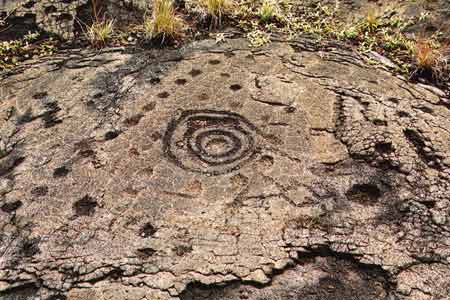
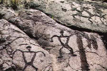
This was described as the largest concentration of petroglyphs in Hawaii. Segmets of newborn babies' umbilical cords were placed in holes carved in the rock and covered with stones to ensure a long life. This was considered an auspicious place for the ceremony because the area, "pu'u loa" or "long hill", was also taken to mean "long life". Somewhere around there were also supposed to be images of early Hawaiian surfers but we didn't see 'em.
 |  |
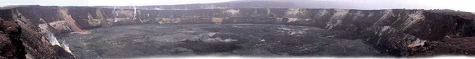
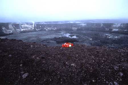
For some time before 1924 this crater was a lake of lava. In that year however, the lava drained and a series of phreatic explosions blew the crap out of it (see vintage photograph / summary). Since then only brief eruptive periods have occurred, most notably when it filled with lava again between 1967 and 1968. This is considered to be the home of the Hawaiian volcano goddess Pele. There were many offerings left for her around the crater rim. It looked pretty big but it's only just a small part of the Kilauea caldera (Maps: simple/detailed).
 Archivist overlooking Halema'uma'u | 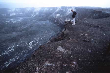 G tries to peek over the edge without sacrificing himself to Pele |
 |  |
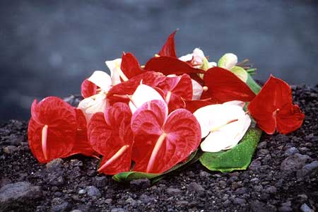
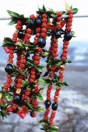 Lei for Pele |  Pele likes her cashew nut cookies | 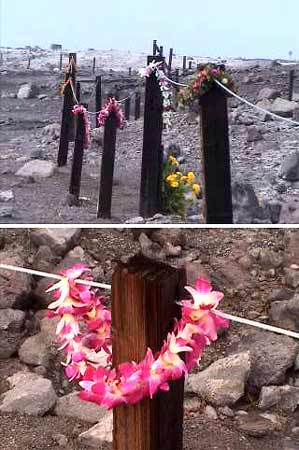 More leis for Pele |
 |  |
This mile-wide crater was the site of a huge eruption of molten lava in 1959. Supposedly they filmed some scenes for the 2001 Planet of the Apes movie here. A hiking trail crosses the bottom of the caldera. We didn't get around to doing this one, but the Devastation Trail to get to the viewpoint had some good scenery.
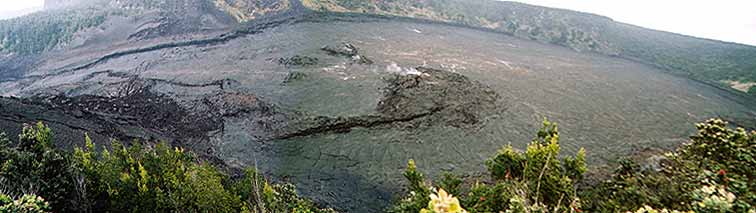
 Part of above view showing hikers gives a sense of the size | 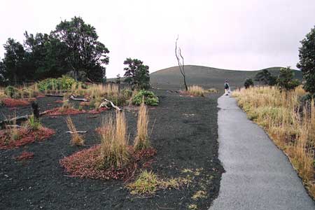 Devastation Trail |
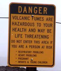
It's difficult to get any good pictures of the Kilauea caldera because of all the haziness from volcanic smog, or "vog". By the way, check out this picture of a dog that got a little too much volcanic CO2. Crater Rim Drive circles the entire caldera and crosses some lava flows formed as recently as the 1970's and 1980's (maps again: simple/detailed).

Looking across some of the Kilauea Caldera from Crater Rim Drive, not far from Halema'uma'u
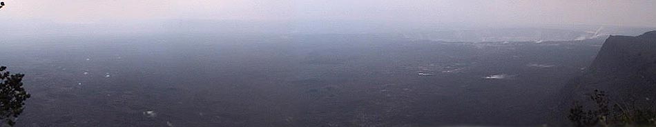
Kilauea Caldera from the Jaggar Museum viewpoint, with Halema'uma'u on the upper right
This is a large lava tube fully equipped with paved trail, railings, and lights. We also explored a longer segment that was left in its original state. I had already been in the St. Helens Ape Cave lava tube so I was more impressed by the huge ferns in the area.
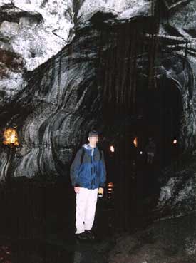 G in Lava Tube Note roots hanging down | 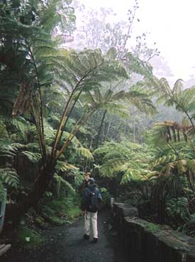 G dwarfed by a fern |
This area is a plain between the inner and outer cliffs of the Kilauea Caldera. Only shallow-rooted plants grow in most of this area because the earth just a few feet underneath the surface is very hot. Moisture seeping into the ground comes back up as steam, especially along the crater rim.
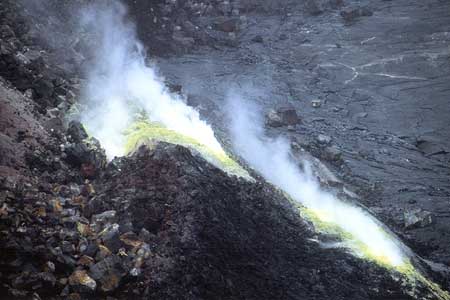
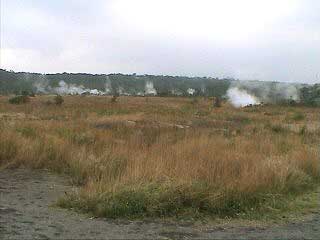 Steam vents | 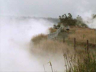 Archivist walks the steaming bluff |
| Visual Stimulation Menu | Main | <<< Maui Part 2 | Big Island Part 2 >>> |